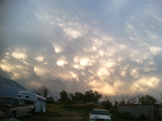
For those of you who don't know me.... I'm a Commercial Pilot and I just love to look at clouds. The afternoon of July 22nd, 2013. Golf Ball size hail falling south of the farm...
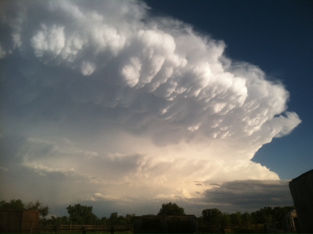
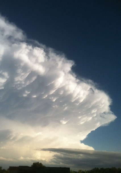
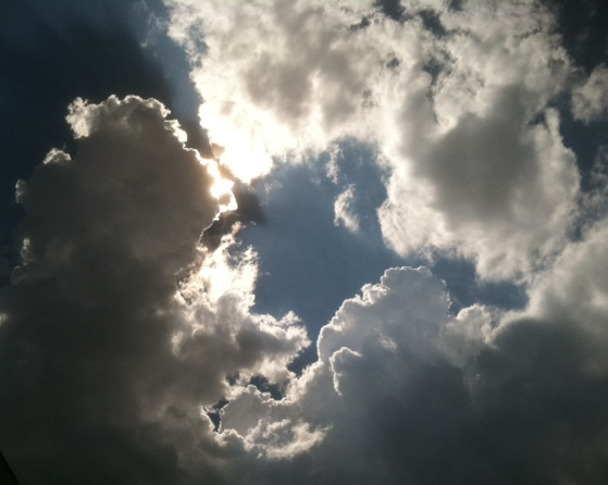
Pretty close panarama shot of this huge anvil cloud. Neat silver lining cloud.
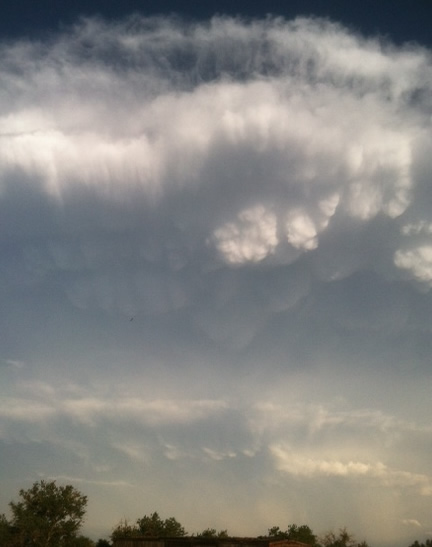
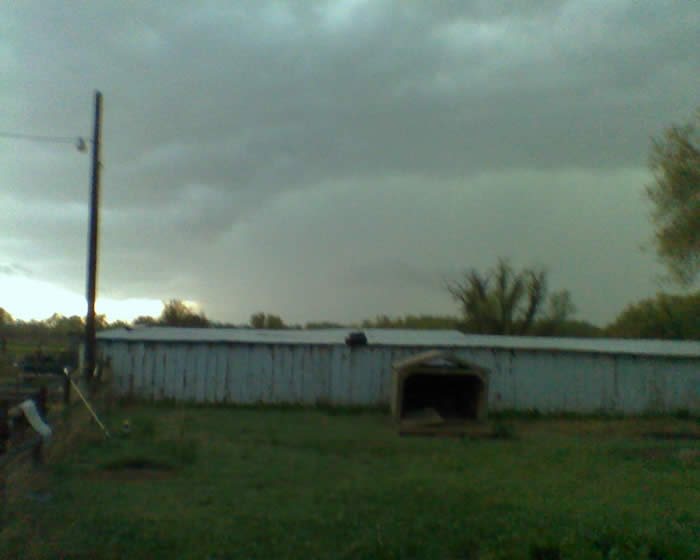
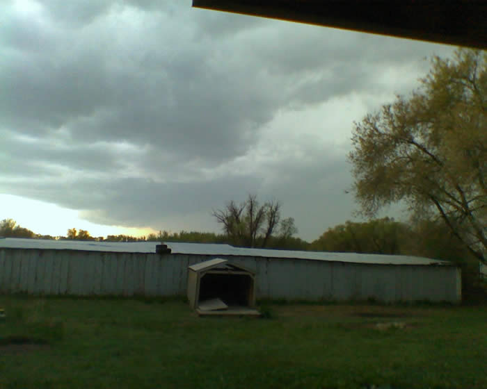
A couple of weeks ago a storm moved past to the north of the farm...
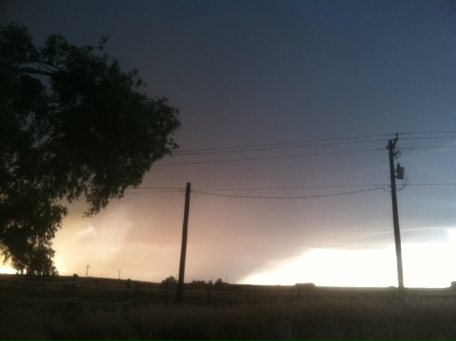
Thought this cloud burst looked more like a big tornado... The night of June 13th, 2013. The news on TV, reports a Tornado on the ground east of the farm about 40 miles, near the town of Akron.
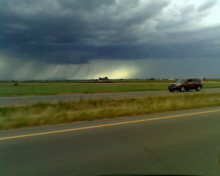
It was reported the hail was 2" in diameter under the storm!
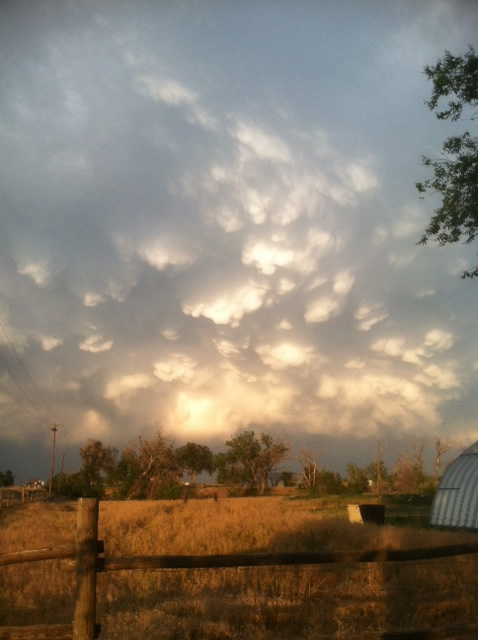
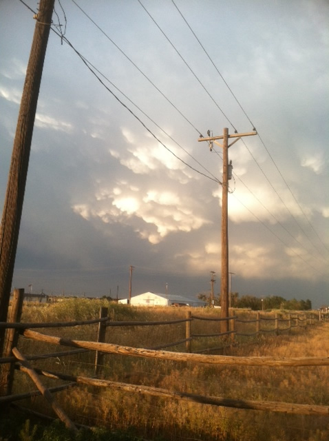
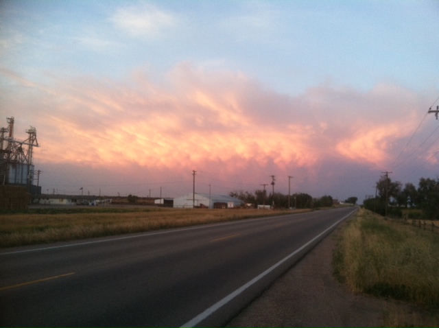
It looked so pretty as the storm moved farther east. The setting sun making the clouds glow bright orange...
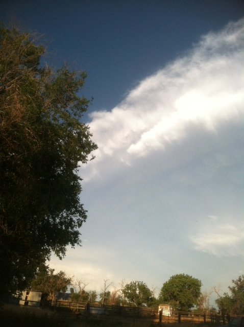
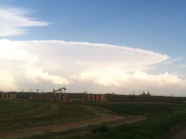
Above: A picture of the perfect anvil cloud several days before that I saw while driving home from Denver...
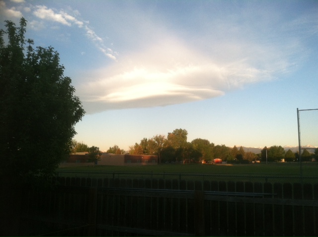
Cool lenticular cloud the morning of the Longmont dog show...
Underneath a dry thunderstorm on the way home from the dog show in Laramie. These clouds are called Virga. It is so warm that the rain evaporates before hitting the ground.
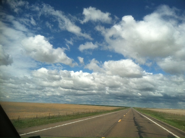
Happy to see the cumulus clouds rolling across the plains after entering Colorado on the way home from Joplin, Missouri. Click here to see pictures from the Wichita Kansas, tornado Pictures off my old phone downloaded in September 2011.
Cloud Burst west of Highway 85.
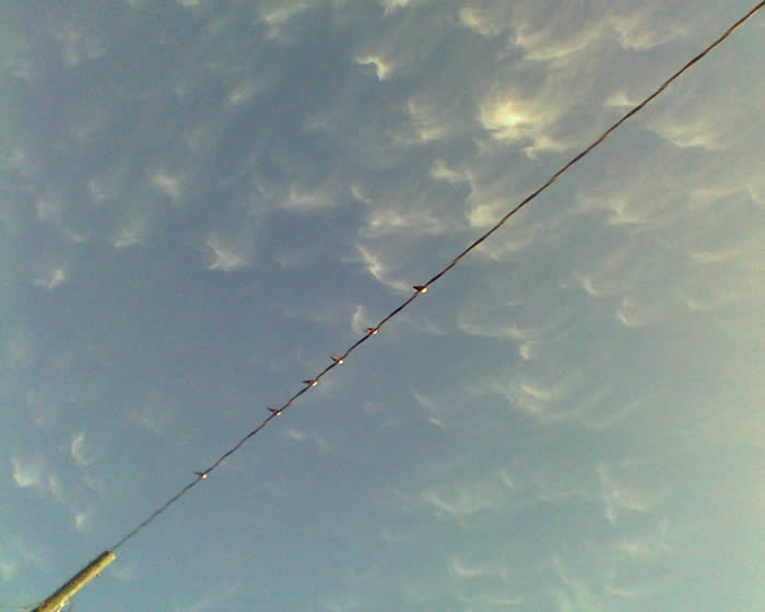
Barn swallows lined up on powerline with Cirrus clouds overhead.
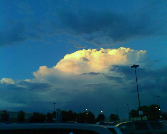
From the Walmart Parking lot... Large Cumulonimbus storm out east, of Greeley.
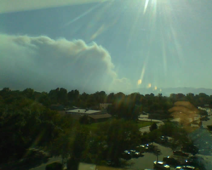
Wild fire in the foothills west of Boulder.
Large Rotor clouds north of the farm as I was leaving for a dog show, early morning. Tornado reported south of the house.
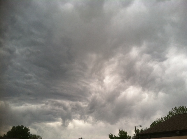
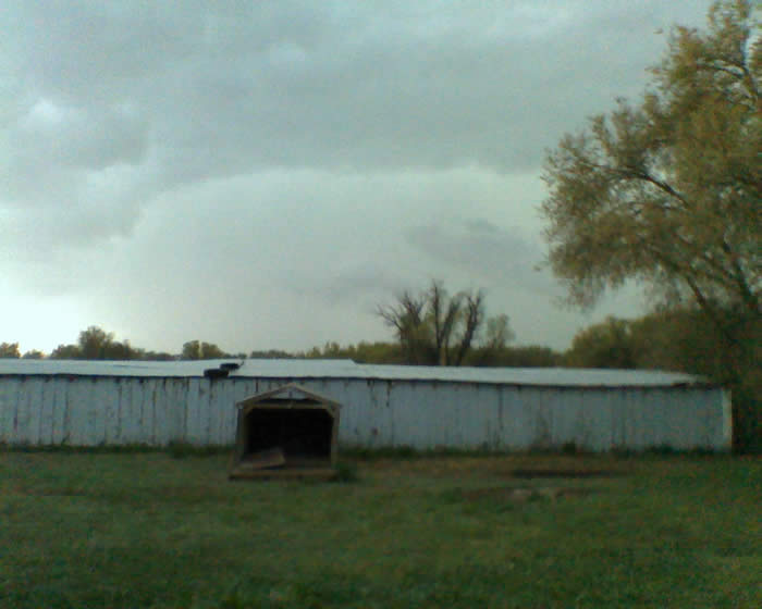
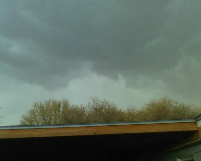
Storm clouds building overhead...
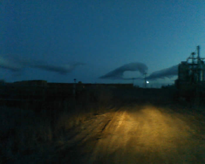
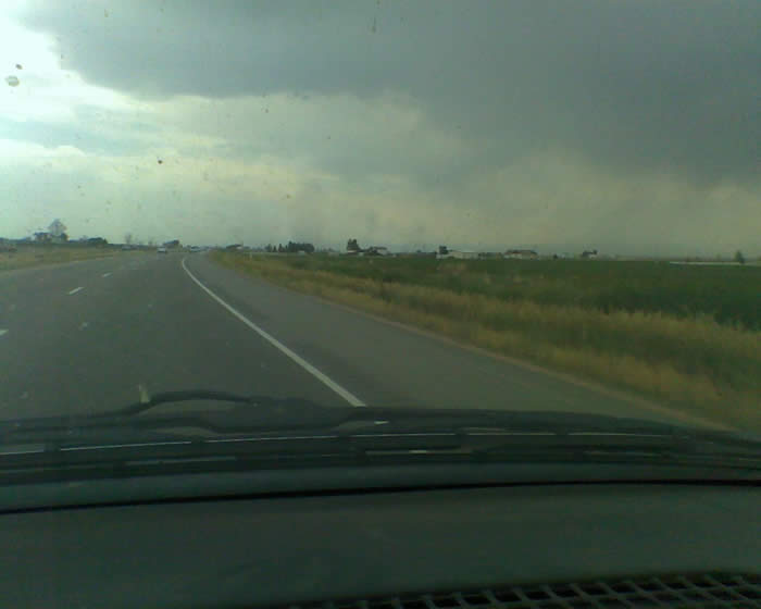
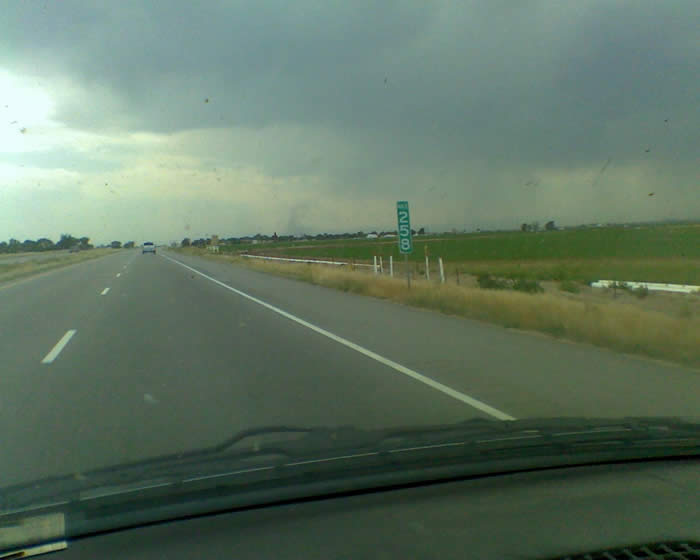
Weak touchdown as I was driving to work in Longmont.
|